The Importance of Satellite Images in Understanding Our Planet

Introduction
Satellite images have become invaluable tools for researchers, governments, and various industries, providing crucial insights into environmental changes, urban development, and disaster management. As technology progresses, the precision and availability of these images have improved, making them essential for informed decision-making and policy planning.
Significance and Applications
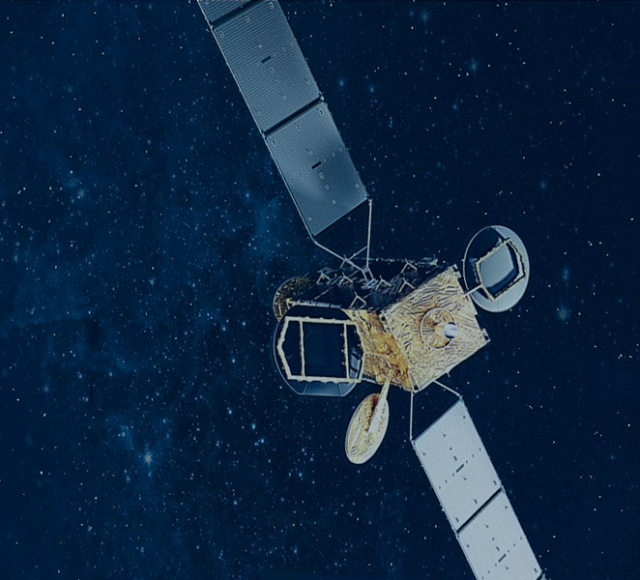
Recent advancements in satellite technology have exponentially increased the resolution and frequency of images captured. Organizations like NASA and private firms like Planet Labs and Maxar Technologies are leading the way in satellite imagery. These images are utilized for several important purposes:
- Climate Monitoring: Scientists use satellite images to track deforestation, glacial melting, and changes in vegetation cover, which are vital for understanding climate change trends.
- Urban Planning: City planners rely on satellite images to visualize land use patterns, monitor urban sprawl, and plan infrastructure developments efficiently.
- Agricultural Development: Farmers and agronomists use satellite data to assess crop health, monitor irrigation patterns, and manage resources more effectively.
- Disaster Management: In cases of natural disasters, satellite imagery helps in assessing damage, planning recovery efforts, and providing timely information to emergency responders.
Recent Developments
In 2023, the launch of new high-resolution satellites has further enhanced our ability to capture detailed images of Earth’s surface. For instance, the European Space Agency’s Copernicus program continues to provide critical data for monitoring environmental issues across the globe. Moreover, an increase in open-access satellite data allows researchers and the public to analyze and utilize the images for various applications.
Conclusion
The advancements in satellite imaging technology signify a new era of environmental monitoring and data utilization that can help tackle global challenges. By harnessing the power of satellite images, we can gain deeper insights into our planet’s health and make informed decisions to foster sustainable development. As satellite technology continues to evolve, it holds the promise of even more innovative applications that can benefit society as a whole.


