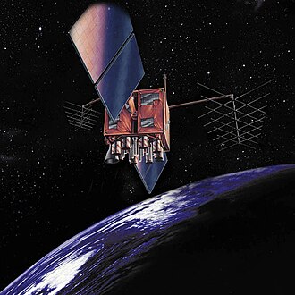
The Importance of Satellite Images in Modern Science

Introduction
In today’s rapidly changing world, satellite images play a crucial role in various sectors, including environmental monitoring, urban planning, and disaster response. The ability to capture detailed images of the Earth’s surface from space allows researchers, governments, and businesses to make informed decisions. As satellite technology evolves, the significance of these images grows, offering insights that were not possible before.
The Role of Satellite Images in Environmental Monitoring
One of the most critical applications of satellite images is in environmental monitoring. They are essential for tracking deforestation, monitoring water bodies, and studying the effects of climate change. For instance, NASA’s Landsat program, which has been operational since 1972, provides invaluable data that helps scientists understand changes in land use and cover over time. Recent studies have shown alarming rates of deforestation in the Amazon rainforest, detected through these satellite images, alerting policymakers to take necessary action.
Urban Planning and Development
Satellite images are also vital for urban planning and development. City planners rely on these images to visualize land use, identify infrastructure needs, and plan for future growth. For example, in India, cities like Delhi and Mumbai are utilizing satellite imagery to manage urban sprawl and improve resource allocation. This imagery allows for a better understanding of how urbanization affects the environment and helps in creating sustainable cities for the future.
Disaster Management
In the context of disaster management, satellite images provide crucial information before, during, and after a natural disaster. They can help in assessing damage and planning rescue operations. Following events such as floods, earthquakes, or wildfires, satellite imagery allows for quick assessments, enabling humanitarian aid organizations to respond effectively. For instance, after the devastating floods in Kerala in 2018, satellite images were instrumental in assessing damage and planning recovery efforts.
The Future of Satellite Remote Sensing
As technology advances, the resolution and frequency of satellite images continue to improve. Innovations like CubeSats and more extensive satellite constellations are making real-time monitoring more feasible than ever. This evolution will further enhance our capability to respond to global challenges, from climate change to urbanization. Future applications could involve machine learning to analyze vast datasets generated by these satellites, providing deeper insights and predictions.
Conclusion
The significance of satellite images in modern science cannot be overstated. They serve as a window into understanding our planet’s dynamics and assist in addressing critical global challenges. As we look to the future, the continued investment in satellite technology will be paramount in enabling better environmental stewardship, efficient urban planning, and effective disaster management strategies. Readers can appreciate the profound impact of satellite imagery on our lives and its potential to shape a more sustainable future.


