Understanding Satellite Images and Their Importance
Introduction
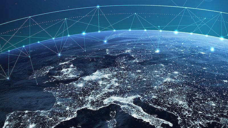
Satellite images play a crucial role in various fields like environmental monitoring, urban planning, and disaster management. With the rapid advancement in satellite technology, high-resolution images are now more accessible than ever, allowing us to monitor Earth’s surface and understand significant changes over time.
Recent Developments in Satellite Imaging Technology
Recent launches of satellites equipped with advanced imaging sensors have vastly improved our ability to capture detailed terrestrial data. For instance, the launch of NASA’s Landsat 9 in September 2021 marked a significant milestone in mapping the planet. This satellite provides critical data for agriculture, forestry, land use, and land cover changes.
Moreover, private companies like Planet Labs and Maxar Technologies have entered the market with fleets of small satellites enabling daily imaging of the Earth. This technology provides the insight needed for real-time analysis of environmental events like wildfires, floods, and hurricanes, making it invaluable for emergency response and urban planning.
The Role of Satellite Images in Climate Change Monitoring
Satellite images serve as indispensable tools in the fight against climate change. By effectively capturing data on temperature changes, ice melt, sea level rise, and vegetation cover, these images allow scientists to visualize and model the effects of climate shifts. The European Space Agency’s Copernicus program, which employs Sentinel satellites for continuous monitoring of the Earth’s environment, is instrumental in this process, providing essential data to policymakers and researchers around the globe.
Applications in Disaster Management
In the event of natural disasters, timely satellite imagery can save lives. For instance, during the 2021 Hurricane Ida, satellite images enabled responders to assess damage and deploy resources efficiently. The ability to analyze affected areas from space helps agencies determine the most affected regions and plan their response efforts accordingly.
Conclusion
The importance of satellite images cannot be overstated, given their utility in monitoring climate change, managing natural disasters, and facilitating urban development. With ongoing advancements in technology, we can anticipate even more detailed and accurate satellite imagery in the future. As we continue to face global challenges, the insights gained from satellite images will be crucial for sustainable planning and protection of our planet. The ongoing evolution of this technology suggests an exciting future for Earth observation and environmental management.


